In everyday life we all recognise certain situations like the sounds we hear or objects we see. We learn from things that have confronted us which then become very familiar, and we can recognise these straight away. We then start to form a date base in our memory and we could say we start to form a pattern recognition system for ourselves. This ability to collate and use information can also be used to our advantage when we are confronted with certain avalanche problems and terrain on the open mountain when making decisions. Skiers will start to recognise the five avalanche problems and form an understanding / pattern recognition in their heads the more they are confronted with these situations on the mountain.
Below are the five avalanche problems and some general information helping to describe the avalanche problems.
The following factors are common to all avalanches
Terrain, gradient of 30⁰ or steeper, avalanche level / daily avalanche report, slope direction, temperature and time of day.
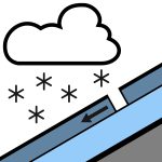
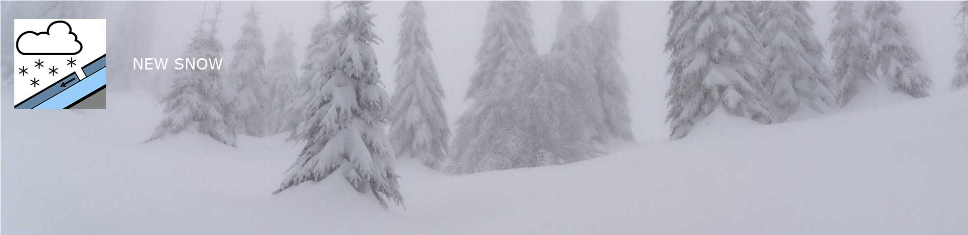
NEW SNOW
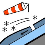
WIND DRIFT SNOW
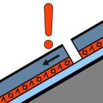
PERSISTANT WEAK LAYERS (OLD SNOWPACK)
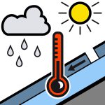
WET SNOW
GLIDING SNOW
NEW SNOW
What are the critical quantities of new snow for freerides, touring and backcountry?
In Unfavourable conditions 10 to 30 cm
In medium conditions 20 to 30 cm
In Favourable conditions 30 to 80 cm
Favourable conditions: Weak or no wind.
Unfavourable conditions: Strong winds, low temperatures, smooth gliding surface on top of old snowpacks and a surface hoar on snow pack surface, temperature or characteristics of the old snow surface. (Generally unfavourable an old snow pack with weak layers and a new snow fall on top). A lot of snow in a short space of time, beginning of the snow fall and rain turning to snow.
When it snows very intensively a lot of snow can fall in a short space of time. The weight of the snow fall can put a great amount of weight pressure on the snow pack and the deep persistent weak layer can brake with a result of very big avalanches. The advantages of the new snow fall is one can fairly easily recognise the problems and deal with these.
Possible danger patterns
dp.1 Deep persistent weak layer / dp.4 cold on warm / warm on cold / dp.5 snowfall after long period of cold
dp.8 buried surface hoar / dp.9 soft hailstones
WIND DRIFT SNOW
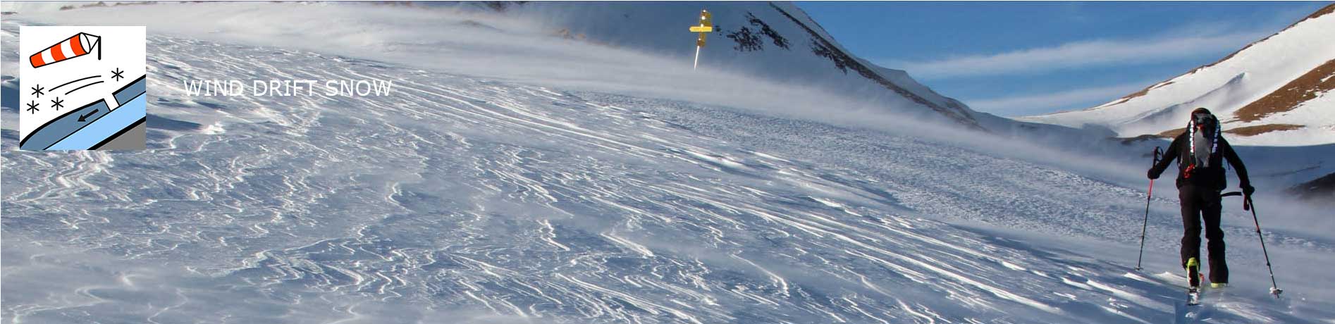
Wind is the building block for the most common avalanches (slab avalanches) in the alps in recent years. During a snowfall and just after a fresh snow fall, the loose fresh snow lying on the ground is transported by the wind from one area to another area and is then deposited and we know this as wind drifted snow (Triebschnee).
The snow that is transport from one area is known as LUV and where it comes to rest is it is known as LEE. The most common areas one finds the deposited snow is in steep gully’s, hollows, behind ridges and wind still areas on the LEE side. The time this typically happens is during or straight after a light to heavy snow fall.
Below are some important questions one should ask oneself when assessing this sort of situation after a snow fall and stronger winds, especial if one is skiing above the tree line at higher altitudes.
How fresh is the windblown snow – if fresher it is more dangerous
How much windblown snow has been deposited – more is more dangerous
What is the surface of the snow and layer type the windblown snow has been deposited on – a long period of cold or a hard or smooth, soft surface or on an old snow base that will have deep persistent weak layers. Or on a cold surface or a surface hoar (metamorphosis) that glistens in the sun which does not bind well and is a very unfavourable situation?
Also depending on slope gradient 30⁰ and greater, and direction of slope exposition dependent
Always check the snow report for the day!
The signs of the direction of wind and signs of windblown snow areas LEE can be as follows:
Cracks on the surface area from your own tracks walking up, skiing down or approaching a slope to ski down when free riding.
Windgangeln – The wind cuts out the snow on the surface in LUV and deposited it in the LEE. (Windgangeln stand with their point against the wind).
Snow blowing over surface of snow cover before, during or after a snow fall.
Surface area of snow does not glistening is more of a matt / milky white snow surface and the wind-blown snow is compact not loos where it has been deposited.
Skiing in windblown snow very little feedback from snow
On ridges and peaks of mountains one can see ‘Wind lips’ snow being blown of the ridges and is very clear the direction the snow is being blown from and to (LUV to LEE)
Snow dunes one can see a wave like effect and the direction the wind has been blowing in
Possible danger patterns
dp.1 Deep persistent weak layer / dp.4 cold on warm / warm on cold / dp.5 snowfall after long period of cold
dp.6 loose snow and wind / dp.8 buried surface hoar
PERSISTENT WEAK LAYERS (OLDSNOWPACK)
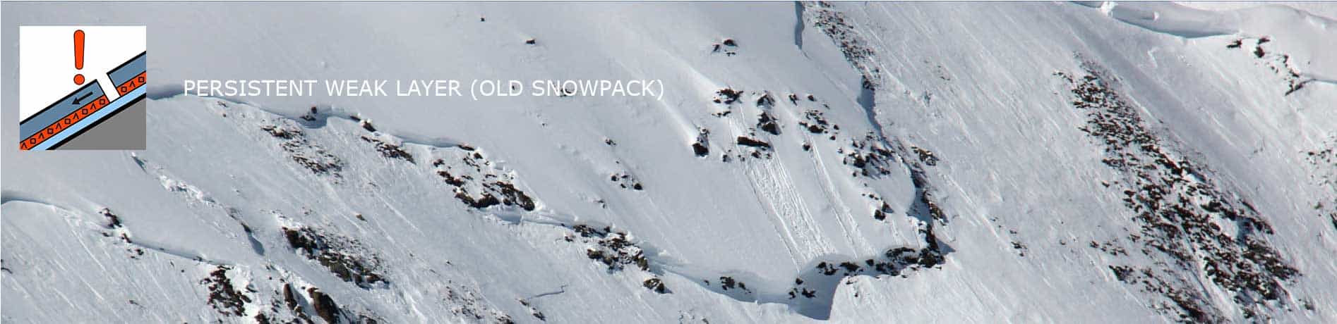
The problems that arise here are the weak layers with in the snow pack.
One has to be very careful, especially when there are areas of shallow snow packs going into deep snow packs where the weaker layers are near to the surface of the snow pack compared to the layers that are deeper in the deeper snow pack. We see this in the areas on the edges of terrain, ridges and where there is a lack of snow the edges of gully’s and dips in the terrain.
This is where one gets a shallower snow pack less favourable and the weaker layers are nearer to the surface and are more vulnerable to being triggered of with additional loading. The opposite in the deeper snow packs where the weaker layers are deeper in the snow pack not so close to the surface and are less vulnerable to being triggered with additional loading. One sees avalanches being triggered regularly in the transition zones where one gets shallower snow packs to deeper snow packs.
At the start of the winter slab avalanches often occur after the second big snow falls and usually at higher altitudes 2000m to 3000m on the shady and steeper slops. The reason for this situation to occur in the autumn is because there is usually a longer period of stable high pressure weather and very little precipitation following the snow fall. This is the time where the metamorphism of the snow can take place at the base of the previous snow fall. Loose crystals develop, the ground being warmer and the warmth raising towards to colder snow and this is where the metamorphosis takes place creating the loose crystals to create a weaker layer lower to the base near ground. These deep persistent weak layers nearer to the ground are usually triggered by skiers and freeriders at the beginning of the season, but this is also possible during the winter months where there is little snow fall. This situation can be brought on in spring as well the weaker lower layer being affected by more moister as well.
It can also depends on a number of factors whether the weak layers are stable or not in the old snow pack.
The depth of the weak layer
How many weak layers are in the snowpack
The thickness of the weak layer
The strength of the snow pack (soft/hard/deterioration)
The thinner the weaker layer the more prone it is to a brake with an additional loading, very unfavourable as the thin layer cannot with hold the pressure exerted from above and a thicker weak layer can withhold an additional load and is more stable/favourable when pressure is exerted from above dependent on how much over a certain area in the snowpack.
The nearer the weak layer is to the surface of the snowpack the more likely it is to brake with an additional load, and the deeper the weak layer is it is more protected by the snowpack and will not be disturbed other than there being a large loading on the snowpack. A big group of skiers all skiing down together with insufficient distancing between each other.
Possible danger patterns
dp.1 Deep persistent weak layer / dp.4 cold on warm / warm on cold / dp.5 snowfall after long period of cold
dp.7 shallow snow packs to deep snow packs / dp.8 buried surface hoar
WET SNOW
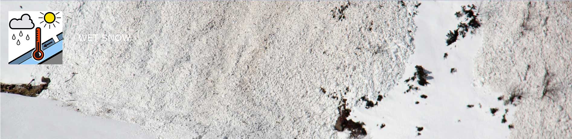
Rain falling on and into the snowpack cover is a high risk alarm for avalanches situations. The reason for this is there is the excess weight that will endanger the snow pack on that particular slope and the bonding is lost within the snow pack quite considerably and very quickly. Rain fall can occur at any time during the winter months. Also, this situation can occur with high air temperatures, intense sun rays on the snowpack, high air humidity and warm winds. All these factors can bring on the problem of a wet snowpack, especially if these situations occur with a shallow snowpack or a winter with poor snow cover.
Wet snow avalanches either a slab, loose snow or a gliding snow avalanche can have very sudden effect and big consequences and a big challenge for the authorities.
Possible danger patterns
dp.3 rain on snow / dp.10 springtime situation
GLIDING SNOW
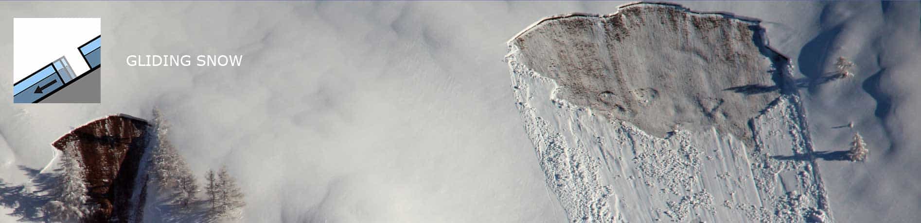
This is when the entire snowpack slides on a smooth surface, grass banks or smooth rocky areas or ice.
These types of avalanches occur when the bonding is lost between the entire snowpack and ground, this is where a layer of water is between the snowpack and ground.
It is hard to predict these types of gliding avalanches and situations as they happen directly at the ground level and can either occur with a dry, cold as well as with a wet snowpack.
These types of gliding and sliding snow avalanches are typically associated with a thick blanket of snow with few or no weak layers. Sliding snow avalanches can occur with a dry, cold as well as with a wet snow cover. These types of avalanches occur in the late autumn months with large amount of snow fall in a short space of time and in the spring time when the snow pack is excessively moist.
Possible danger patterns
dp.2 gliding snow