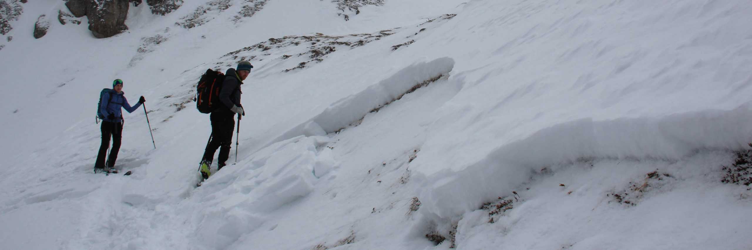
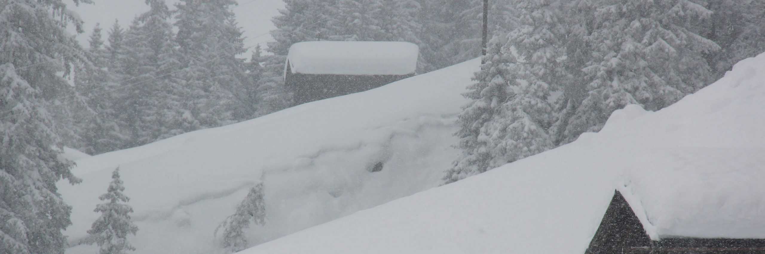
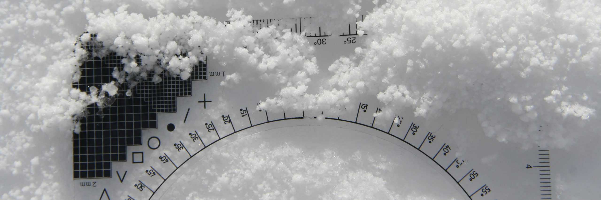
During the winter months we have a number of avalanche problems and danger patterns. They all repeat themselves through the winter months and are very obvious and recognisable. The differences between each one is the observation and how one analyses and assess the possible dangers patterns of the new snow and the old cover that is lying on ground all ready.
The avalanche problems and danger patterns will give us a guide line to the dangers after the new snow fall, but the danger patterns go deeper within the snowpack and create more problems after new snow falls on top of weak layers.
Danger patterns thus lead to very different situations and onto avalanche problems.
My goal is to make you more aware of these danger patterns and avalanche problems to help guide you on a open mountain so you can have fun be safer while ski touring or free riding with friends.
DP. 1 DEEP PERSISTENT WEAK LAYERS
At the start of the winter slab avalanches often occur after the second big snow falls and usually at higher altitudes 2000m to 3000m on the shady and steeper slops. The reason for this situation to occur in the autumn is because there is usually a longer period of stable high pressure weather and very little precipitation following the snow fall. This is the time where the metamorphism of the snow can take place at the base of the previous snow fall. Loose crystals develop, the ground being warmer and the warmth raising towards to colder snow and this is where the metamorphosis takes place creating the loose crystals to create a weaker layer lower to the base near ground. These deep persistent weak layers nearer to the ground are usually triggered of by skiers and freeriders at the beginning of the season, but this is also possible during the winter months where there is little snow fall. This situation can be brought on in spring as well the weaker lower layer being affected by more moister as well.
DP. 2 GLIDING SNOW
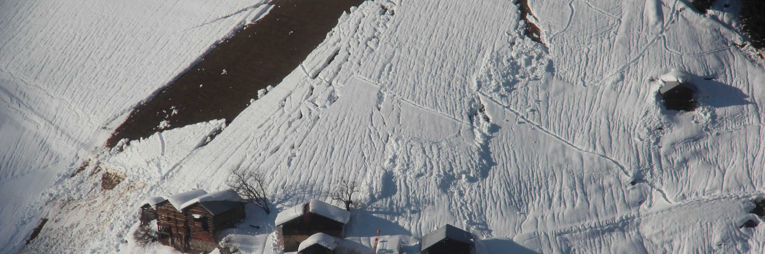
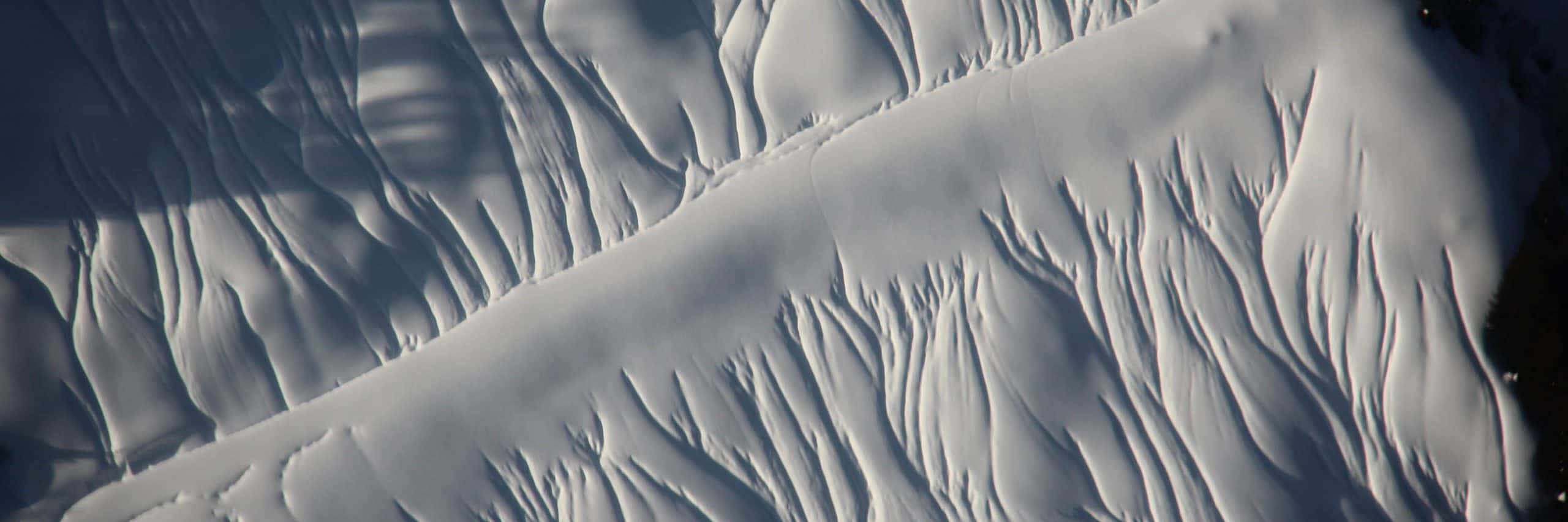
Snow glides are most commonly found on steep and smoother surfaces. While the snow is starting to glide one can start to observe in the surface of the snow cover quite considerable deep cracks starting to appear gradually – cracking or splitting in the snow cover pack are very unfavourable signs and can result in avalanches about to happen or suddenly happen there and then. These cracks or splitting that appear in the snow cover pack will give no advanced warning they can happen there and then on the spot. These gliding avalanches can happen any time of day or night and are the most difficult to predict when and where they will happen as they can be triggered even when the snow pack cover is at its most stable. Its can be the coldest day or warmest day when these avalanches occur and they don’t need additional loading ie. bigger groups more skiers or even heavy snow falls they just trigger naturally.
DP. 3 RAIN ON SNOW
Rain falling on and into the snow pack cover is a high risk alarm for avalanches situations, the reason for this is there is the excess weight that will endanger the snow cover pack on that particular slope and the bonding is lost in the snow pack quite considerably and very quickly. Rain fall can occur at any time during the winter months, this is the easiest of danger signs to recognise from all the 10 danger patterns.
DP. 4 COLD ON WARM / WARM ON COLD
For too long, the avalanche study has held the opinion that a large temperature difference during snowfall (regardless of whether it is cold on warm or vice versa) has a positive effect on the avalanche situation. However, this only applies under certain conditions. In the majority of cases, however, such a temperature difference has a negative effect because it favours the metamorphism within the snowpack: As a rule, a thin, consistently fault-prone weak layer is formed as a result. These are often found in the south-facing terrain. A gradual process that are very prone and can be triggered of easily. Also, because the weak layer is not there immediately after the snow has fallen the weak layer only forms in the course of the following days.
DP. 5 SNOWFALL AFTER LONG PERIOD OF COLD
A classic among avalanche events: after a long cold spell, it starts to snow. In addition, a strong wind blows, which moves the fresh snow. A very high avalanche risk situation arises for winter sports enthusiasts in a very short time. This also applies if, after a long period of cold, “only” strong winds blow without snowing. The problem: Fresh drift snow is deposited in steep slopes and gullys, which comes to rest on a loose, mostly floating snow cover. Drift snow and old snow are very poorly connected to one another. The snowpack is then just waiting to be disturbed by additional loads.
DP. 6 LOOSE SNOW AND WIND
Wind is the building blocks for the most common avalanches in the alps, the slab avalanche in the most recent years. Wind will influence both falling and already deposited snow and is one of the most important factors that cause avalanches. In loose, dry snow, wind always transports the snow and thus to an increase in the risk of avalanches! So it has either snowed shortly before at cold temperatures without wind and then started to blow, or it begins to snow without the influence of wind, with the wind increasing in strength during the snowfall. A pattern that is usually quite easy to recognize and that only lasts for a short time.
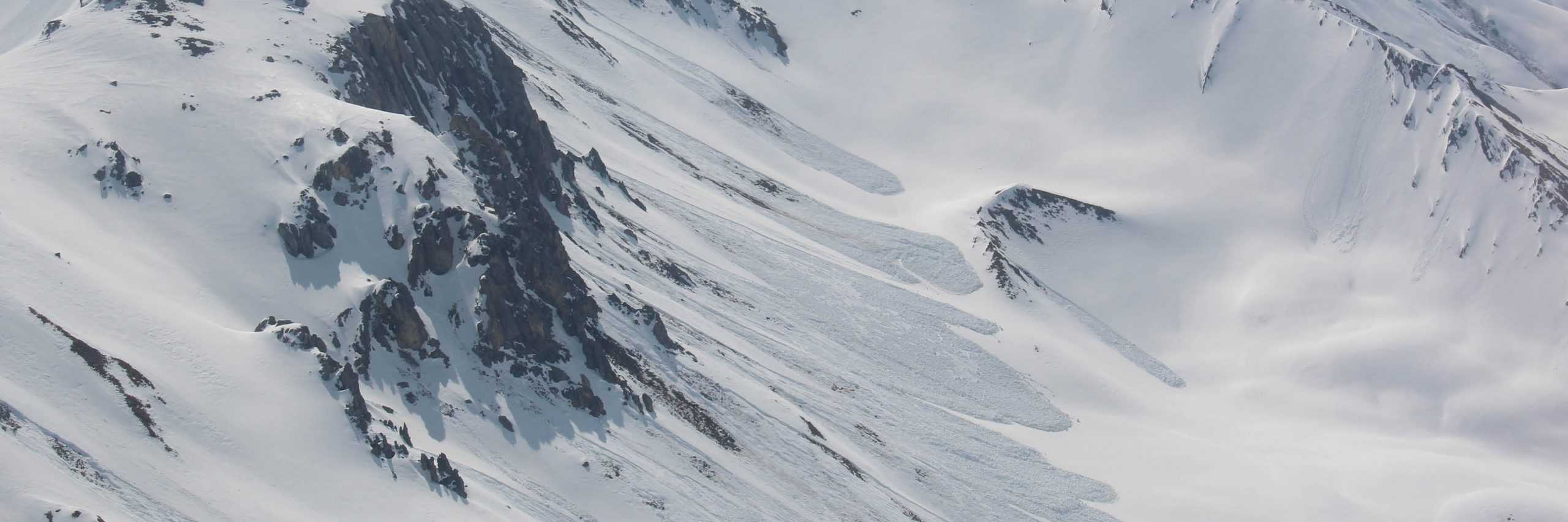
DP. 7 SHALLOW SNOW PACK TO DEEP SNOW PACK
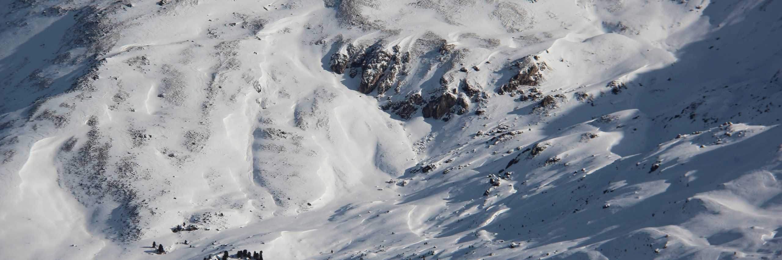
This is where one gets a shallower snow pack less favourable and the weaker layers are nearer to the surface and are more vulnerable to being triggered with additional loading. The opposite in the deeper snow packs where the weaker layers are deeper in the snow pack not so close to the surface and are less vulnerable to being triggered from additional loading. One sees avalanches being triggered regularly in the transition zones where one gets shallower snow packs to deeper snow packs. We see this in the areas on the edges of terrain, ridges and where there is a lack of snow the edges of gully’s and dips in the terrain.
DP. 8 BURIED SURFACE HOAR
Surface hoar this is a very picturesque winter view where the crystals glits in the sun. It has no danger of creating an avalanche lying on top of a snow pack but if or when it snows a fresh cover of snow on top the hoar then the real danger starts as these crystals have no bonding quality and create a very weak and potentially very critical situation. This situation is one of the most critical and dangerous for an avalanche to happen.
DP. 9 BURIED SOFT HAILSTONES
This is where one gets a weak layer in the snow pack like a layer of ball bearings. This situation happens when a small granular in a precipitation (hailstones) happens during a short strong shower like in a thunderstorm in the spring time. Wind blows soft loose snow and creates a wind drift of snow over the top of the weak layer of hailstones and creates a very critical situation but this situation is not a long lasting one but a very critical one which is hard to recognise when it happens.
DP. 10 SPRING SITUATION
This time of year, is one for the experts that challenges even the most experienced backcountry skiers and boards and the local avalanche committees. This time of year means one has to take extra thought for planning a ski tour or freeriding and be very flexible as the weather and the winters snow pack can change with many factors in the spring time temperature, humidity, influence from the sun and wind plays a decisive role at this time of year and one has to take in to account the direction of slope and time of day.